Both coasts
Atlantic out, bay home
The classic circuit
See the day tourGuides
Language
Currency
See open slotsfrom $44 · no cancel feeLocate your stop
See all 16 stops
Select a route, then tap a marker or stop to see its note and open Google Maps.
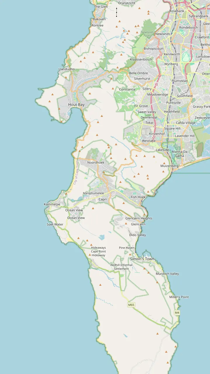
The drive is a 9km route with 114 curves.
Google MapsHout Bay has one of the most active fishing harbours in South Africa.
Google MapsHorse-riding on Noordhoek Beach is one of the most popular activities there.
Google MapsThe Atlantic route follows the coast through Kommetjie on its way to the reserve.
Google MapsThe False Bay route follows the M3 to Claremont, then Muizenberg, Fish Hoek and Simon's Town.
Google MapsSimon's Town is 35 km from Cape Town.
Google MapsThe Boulders colony is estimated at 2,000 to 3,000 birds.
Google Maps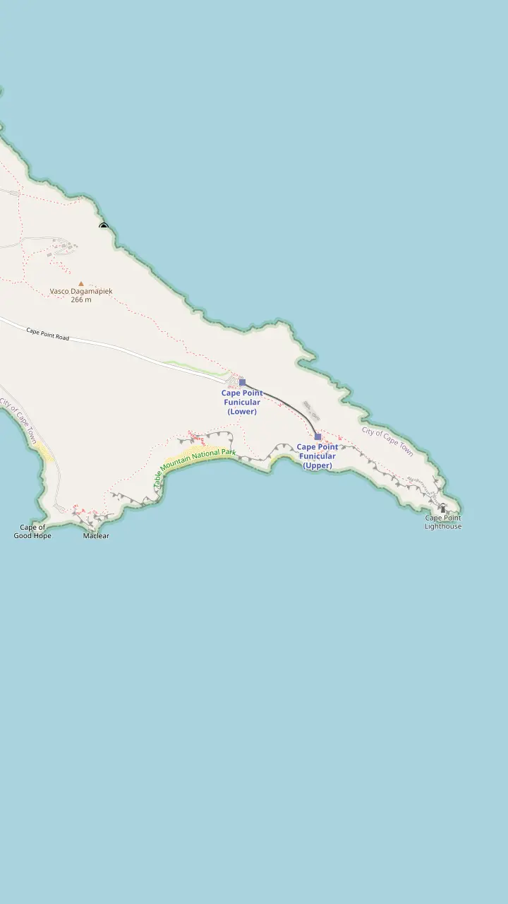
The walk from the main parking area to the Cape of Good Hope sign is 3.5 km.
Google MapsThe beach lies down a steep wooden staircase.
Google MapsThe funicular ride takes 3 minutes from the lower station.
Google MapsThe Lighthouse Keeper's Trail begins behind the upper funicular station and leads to the new lighthouse.
Google Maps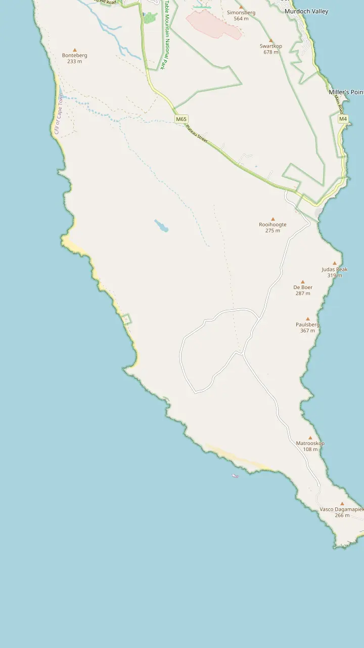
Buffels Bay has tidal pools, swimming spots, picnic sites and walks.
Google MapsFrom Olifantsbos Point visitors look toward where the Lusitania hit Bellows Rock in 1911.
Google Maps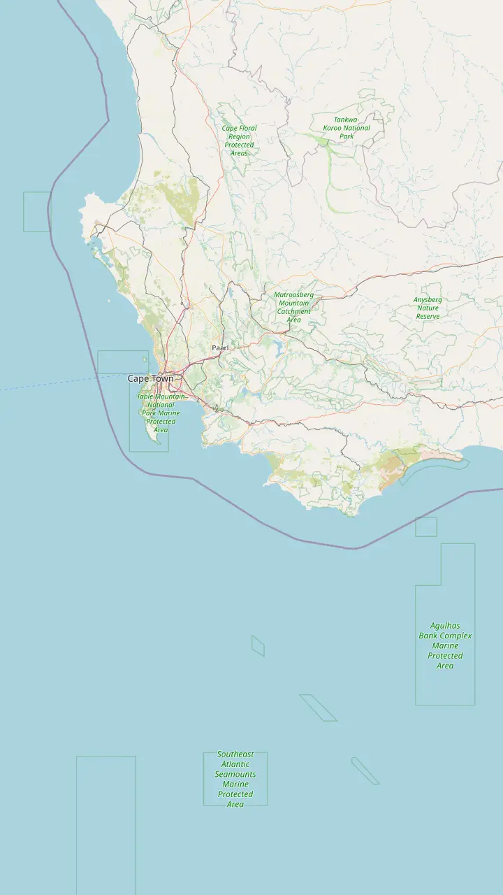
Cape Point is just 60 km from Cape Town.
Google MapsCape Agulhas, the southernmost tip of Africa, lies about 220 km south-east of the peninsula.
Google MapsSimon's Town is 35 km and Cape Point 60 km from Cape Town.
Google Maps© OpenStreetMap contributors · map data
The classic way to Cape Point leaves Cape Town on the Atlantic coast, crosses Chapman's Peak and returns along False Bay. Here is the loop in order, with tolls, closures and stops.
Editorial team, capepointtour.top · Updated November 7, 2026 · Allow 7 min
Overview
The Cape Peninsula route splits by coast. You can drive down the Atlantic side and come back on the False Bay side. The Cape Point operator describes the Atlantic way from Cape Town through Sea Point, Camps Bay, Llandudno and Hout Bay, then Chapman's Peak Drive to Noordhoek.9 The False Bay way follows the M3 to Claremont, then Muizenberg, Fish Hoek and Simon's Town.10
Cape Town Tourism's penguin page gives a matching leg for reaching Boulders Beach: start at Camps Bay, pass through Hout Bay, cross Chapman's Peak Drive and carry on beyond Noordhoek and Kommetjie.11 Wesgro puts Cape Point just 60 km from Cape Town, a distance you can feel on the day.6 The tour this site sells uses both halves of the peninsula, with Hout Bay, Chapman's Peak, the reserve, Boulders, Simon's Town and Muizenberg all on its stop list.
That structure is useful for planning. A day tour does the whole loop in one direction and returns you to your hotel, while a self-drive day lets you choose either coast twice. Whichever you pick, put the Atlantic coast in the morning when you are fresh and have the most patience for photo stops, and keep the False Bay road for the end of the day, when a harbour lunch and a penguin colony are easier to enjoy.
Paying for the road
| Vehicle or pass | What it costs | Where it applies |
|---|---|---|
| Light vehicle | R68.00 once-off3 | Each direction20 |
| Motorcycle | R45.00 once-off21 | Each direction20 |
| Day Pass | Free use of the first 3km22 | From the Hout Bay side, daylight only22 |
| Tour bus | Class-based tariff | One direction, Hout Bay to Noordhoek8 |
The schedule dated 1 July 2024 notes annual inflationary increases, so these are the operator's published figures and not a quote for today.4
The drive begins at the fishing harbour of Hout Bay, climbs steeply to Chapman's Point and drops to Noordhoek.13 The operator describes the road as 9km long with 114 curves, hugging the rocky coastline with views in both directions.1 It skirts Chapman's Peak, a 593m peak at the southern end of the Constantia Berg.14
Hout Bay is worth a few minutes on its own. The operator's area page counts its fishing harbour among the most active in South Africa and credits the town with some 40 restaurants, plus antique and art shops, weekend markets and places to stay.15,16 The tour's description adds the seals at Hout Bay Harbour to its stops, and the record lists an optional stop at Hout Bay Boatyard of 50 minutes.
There are numerous places to pull over and look at the view along the drive, and there are three major picnic areas with more than 60 picnic tables and benches.17,18 If you are driving yourself, use the lay-bys for photographs rather than stopping on the bend. The listing gives its Chapman's Peak Drive stop 20 minutes.
Chapman's Peak Drive is operated as a toll road.2 The standard schedule on the operator's site runs from 1 July 2024 and notes annual inflationary increases, so treat any figure as a starting point and check the current tariff before you drive.4 On that schedule a light vehicle pays R68.00 once-off and a motorcycle R45.00, and the tariff applies in each direction.3,21,20
A Day Pass from the Hout Bay side gives free use of the first 3km of the drive, in daylight hours only.22 That suits a short out-and-back for the views without paying for the full crossing. If you are going on to Cape Point, though, you will want the whole road, and the toll is part of the day's cost along with the reserve gate.
The road is also closed from time to time for safety. The operator says this is typically in high winds, heavy or continuous rain, for maintenance or to clear rocks from the catch fences.5 On a day with a strong forecast, have the False Bay road ready as the plan B, and look at the road status on the operator's site before you leave the city, because a closed boom costs far more time than a toll.
Match your day
Choose the line that sounds like your plan and read the answer beside it
If I want the famous cliff road
Cross Chapman's Peak
The 9km drive has 114 curves and numerous places to pull over.1,17
If I want to avoid a toll
Take the False Bay road
The False Bay route follows the M3 to Claremont, Muizenberg and Fish Hoek.10
If The forecast shows strong wind
Plan the bay road
The drive closes in high winds or heavy rain.5
If I want penguins on the way home
Finish on False Bay
The Simon's Town road passes Boulders Beach on the way to Cape Point.23
If I want only a taste of the road
Use the Day Pass
It gives free use of the first 3km from the Hout Bay side.22
Ways around the loop
Both coasts
The classic circuit
See the day tour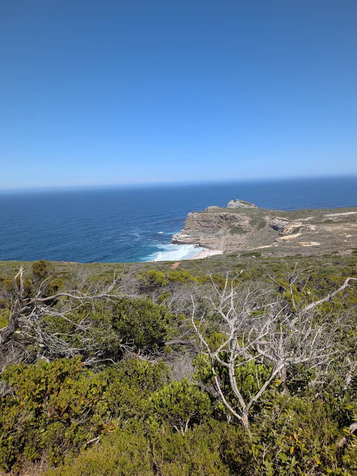
Toll twice
Same road twice
No toll
Along the M3 and coast
See the day tourNoordhoek sits at the southern end of the drive and is 25 minutes south of Cape Town, according to the operator.37 Riding horses on Noordhoek Beach ranks among the town's favorite pastimes, and the operator notes that vineyards and vegetable farming are coming back to the valley.30,38 It is a natural place for a coffee before the long, quiet stretch toward the reserve, and from here Hout Bay to Cape Point is one continuous coastal run.
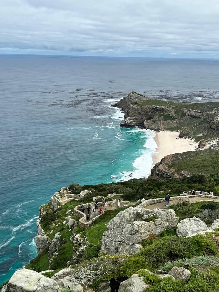
After Noordhoek the Atlantic road continues past Kommetjie and the Cape Point operator lists the coast road through Kommetjie, Soetwater, Witsand, Misty Cliffs and Scarborough.31 The route then runs inland for a few kilometres, and the park entrance is on the right.39 Allow for slow traffic through the villages, and for the reserve's own speed limit of 60 km/h once you are inside the gate.40
From the gate to the car park at Cape Point takes 10 to 15 minutes by the operator's figure.12 Add the time for the ticket queue, the gate hours that follow the daylight and the walk from the car park, and an early start from Cape Town makes the loop comfortable. The tour's listing gives 30 minutes at the Cape of Good Hope and 45 minutes at the new lighthouse.
Price the loop
Type your party size and compare four ways to do the loop
Choose from 4 options
Type your party size and compare four ways to do the loop
≈
View≈
View≈
View≈
ViewStarting prices on GetYourGuide, exchanged at the ECB reference rate. The booking page gives the exact price.
The day in order
Hout Bay
The listing names the seals at Hout Bay Harbour and an optional boatyard stop of 50 minutes.
20 minutes
The record gives the toll road stop 20 minutes of photo and scenic time.
30 minutes
The record lists 30 minutes at the Cape of Good Hope, 10 to 15 minutes' drive inside the gate.12
45 minutes
The new Cape Point lighthouse stop is listed at 45 minutes.
1 hour
The Boulders penguin colony is listed at 1 hour, then Simon's Town takes 75 minutes.
25 minutes
The way back includes Muizenberg Beach for 25 minutes and a look at the shark spotters.
Coming home on the False Bay side, the route passes Fish Hoek and reaches Simon's Town, which Cape Town Tourism places 35 km from Cape Town.10,7 Its guide to the town lists a free naval museum and a bronze statue of the dog Just Nuisance on Jubilee Square, and the tour's record gives Simon's Town 75 minutes for lunch and a walk.41,42
The Boulders penguin colony is close to Simon's Town, and the tour's record gives it 1 hour. Cape Town Tourism describes the Simon's Town to Cape Point road as passing the penguins at Boulders Beach before the quiet, untouched coastline to the promontory.23 That makes the False Bay road a good place to be flexible, since there is more to see than a single stop can hold.
Farther along, Boyes Drive is a 7km drive from Lakeside, Muizenberg and St James through to Kalk Bay, and the False Bay Shark Spotters are based there.19,43 In the whale season the train from Muizenberg to Simon's Town can give a close view of whales, which is a useful backup if you prefer the rails to the road.44 The tour's description puts a stop at Muizenberg Beach for the shark spotters on the way back, and the record gives it 25 minutes.
Video
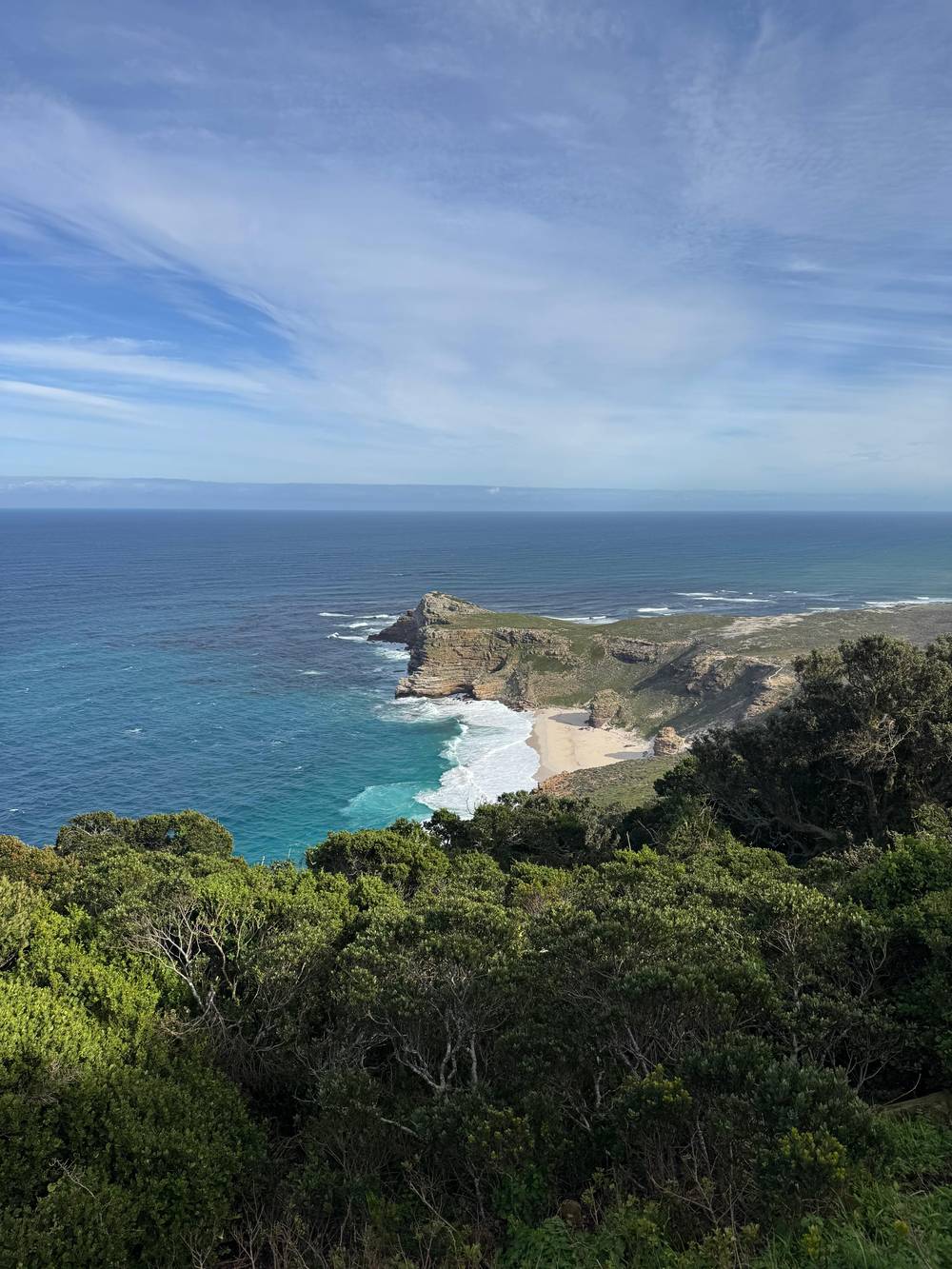
Alt Living with Steve and Naz on YouTube · Your tap on play is what loads the video.
Initially constructed during the First World War, this 9km route with its 114 curves skirts Chapman's Peak.
Before you set out
Chapman's Peak Drive has rules for each kind of user. Buses and other long vehicles may use the road in a single direction only, from Hout Bay toward Noordhoek.8 The tour listing describes an air-conditioned vehicle and does not say which vehicle class it is, so a guest who cares about the direction should ask the operator.
Cyclists under the age of 12 must be accompanied by an adult.35 Pedestrians may never walk the stretch between Lookout Point and Noordhoek Corner.36 Any animal on the road must be on a leash, so a walker should read the full terms of entry on the operator's site before setting out.45
For a traveller without a car, the loop works as a tour, a private driver or a rental. The operator also notes that the drive saves a commuter up to 20 minutes in peak traffic.46 That is a local fact, but it hints at the road's role: it is a working link between Cape Town and the South Peninsula as well as a viewpoint, so expect local traffic around the morning and evening peaks.
Chapman's Peak is named after John Chapman, the mate of the English ship Consent.47 The road that now carries his name opened to traffic on Saturday 6 May 1922, linking Hout Bay and Noordhoek.48 It took seven years to complete.49
Construction from the Hout Bay end used convict labour supplied by the Union Government.50 The operator's history page says the route along the vertical sea cliffs was chosen over the route across the low saddle between the peaks.51 Surveyors had to work on all fours on the perpendicular terrain.52
That history is worth carrying in your head when you drive it. The road was cut into cliffs and ravines that the operator describes as steep, rotten and unstable.53 On a clear day the view repays the effort, and on a closed day the story at least puts the boom in context. The 1922 opening date, the seven years of building and the convict labour all sit in the records on the operator's site.48,49,50
FAQ
From the Hout Bay side it gives free use of the first 3km, in daylight hours only.22
It also closes for maintenance and to clear rocks from the catch fences.5
Tour buses and long vehicles may only travel in one direction.8
The site's tour lists Hout Bay, Chapman's Peak, the reserve, Boulders, Simon's Town and Muizenberg across a 10-hour day.
The tour's description lists the seals at Hout Bay Harbour, and the area has one of the most active fishing harbours in the country.15
Sources
Next read
Planning a day at Cape Point? A real person answers here.